
Menifee ZIP Code Directory Four ZIPs
Research identifies four standard postal codes serving Menifee-area addresses: 92584, 92585, 92586, and 92587. Their delivery identities overlap older communities and city-edge geography. The table gives practical locality descriptions from the research, but it is not a legal boundary record. Verify a complete address with the postal authority, city map, county GIS, and APN.
| ZIP | Areas or identity | Post office / delivery label | Records note |
|---|---|---|---|
| 92584 | Central, south, and east Menifee; Menifee Lakes and Audie Murphy Ranch vicinity depending on route | Menifee delivery | Menifee Library uses 92584; verify each address |
| 92585 | North and northeast Menifee; Romoland and Heritage Lake vicinity | Menifee or Romoland delivery history | Locality label and city line are not equivalent |
| 92586 | Sun City and central-west civic area | Sun City or Menifee identity | City Hall uses 92586; strong historical Sun City heading |
| 92587 | West Menifee, Quail Valley, and Canyon Lake edge vicinity | Quail Valley or Canyon Lake geography | Postal area can cross community expectations |
No official source supplied named-neighborhood postal polygons, a ZIP split year, a PO-box-only ZIP, or population by ZIP. Treat these descriptions as search cues. The official Menifee boundary map controls the municipal question; postal data controls delivery.
Note: ZIP 92584, 92585, 92586, and 92587 are postal filters, not four complete Menifee resident rolls.
Menifee ZIP Code 92584 and Newer Communities
Postal code 92584 is associated in the research with central, south, and east Menifee, including the Menifee Lakes and Audie Murphy Ranch vicinity depending on the delivery route. It also appears on the Menifee Library address. That makes 92584 useful for narrowing a search, but not enough to establish that a parcel sits inside every named community or within the city boundary.
Use the ZIP with the Riverside County unclaimed-property search when a name is common, then match any result to another source. For a property question, run the full address through the county assessor search and record the APN. The code is a filter. The parcel and legal description are the continuity keys.
Menifee ZIP Code 92585 and Romoland
Postal code 92585 covers north and northeast Menifee in the practical locality description, with Romoland and Heritage Lake associations. A directory or newspaper may use Romoland even when a newer form says Menifee. Keep both labels in a name search and do not treat the postal city as a legal jurisdiction.
The same caution applies to records. Menifee city permits and planning records begin after incorporation, while earlier unincorporated files may sit with Riverside County TLMA. A 92585 address can therefore connect to city, county, and historical sources through different years. Search the place label and the APN together.
Menifee ZIP Code 92586 and Sun City
Postal code 92586 is tied to Sun City and the central-west civic area. City Hall at 29844 Haun Road uses Menifee, California 92586. Sun City is also a major historical catalog term because library service began there by bookmobile in 1962 and the community developed as a planned retirement area in the early 1960s.
Search 92586 with Sun City when looking for older telephone books, community publications, club material, newspapers, and family-history clues. A later Menifee city directory may inherit the same address under a new heading. Pair the locality with a date, street, or family name rather than relying on the postal label alone.
Menifee ZIP Code 92587 Western Edge
Postal code 92587 is associated with west Menifee, Quail Valley, and the Canyon Lake edge vicinity. Its postal geography can cross community expectations, which is why a complete address check matters. A Quail Valley heading in a historical record does not automatically conflict with a present Menifee mailing label.
Use the city boundary map and county GIS to test municipal location. Then use the assessor property search to resolve the address to an APN. If the goal is the adjacent block, the parcel workflow is more reliable than a ZIP-wide inference about residents.
Finding Menifee Residents by ZIP Code
A ZIP-keyed search works when each source accepts geography in the way the record keeper permits. Map My County accepts a ZIP field as a search mode. The State Controller’s unclaimed-property system accepts city and ZIP as optional filters. The voter status tool authenticates a person and does not expose public ZIP browsing. The assessor parcel tool can resolve an address but does not show owner names online.
- Confirm the complete mailing address and postal code through the postal address authority.
- Check the Menifee city boundary and county GIS to separate delivery area from municipal limits.
- Use Map My County or the assessor search to resolve the address to a parcel and APN.
- Use the unclaimed-property city and ZIP filters only as a name clue, then corroborate it.
- When the ZIP narrows the search to one street, continue with the Menifee street directory address chain.
This sequence treats the postal field as a useful narrowing clue instead of pretending it is a household list. The same discipline applies to business and court searches: geography narrows a name, while the record itself supplies the proof.
Note: A postal code narrows geography, while the APN or a second record tests whether the person and parcel actually match.
Map My County ZIP Search for Menifee
Map My County accepts a ZIP field, address, APN, community, cross streets, legal description, assessor book and page, township and range, coordinates, supervisor, roadbook, and LMS case number. Search a ZIP to position the map, select a parcel, and open the Summary or Full Report. Parcel ownership remains unavailable online through the assessor policy, so the map is geography rather than a residents directory.
| Map field | Type | Use in a ZIP code search |
|---|---|---|
| ZIP | Text or search mode | Position or narrow the map by delivery geography |
| Community | Search mode | Test Sun City, Romoland, Quail Valley, or another locality |
| Address / APN | Text | Resolve a full address to the parcel record |
| Legal description | Text | Find the durable lot or subdivision wording |
| Layers and identify | Map tools | Compare parcels, city areas, zoning, and districts |
Enable parcel boundaries, click the target, and record the APN. Click neighboring parcels only when the research question calls for them. The city maps page adds Street Name Lookup, boundary, zoning, council district, and project layers.
Note: Map My County can accept a postal search, but its parcel result still requires jurisdiction and ownership caution.
Filter Unclaimed Property by Menifee ZIP Code
The California Controller’s unclaimed-property search can take a last or business name or a property ID. First name, city, and ZIP are optional narrowing fields. Try Menifee, Sun City, Romoland, and Quail Valley variants when a name has several matches. The service is free, and exact matches appear before similar names.
A claim result can contain a reported city or ZIP clue, but it does not prove the person lives at that address now. Match it to a business filing, deed, court record, or the person’s own confirmation. Keep the ZIP as a filter in the research log, not as a conclusion about a household.
The California unclaimed-property form shows the name, city, ZIP, and property-ID fields.
The visible search fields make ZIP useful for separating similar names while preserving the need for a second source.
Postal, Situs, Mailing, and Legal Addresses
A ZIP is a delivery construct. A situs address identifies physical land. A mailing address receives tax correspondence and can sit elsewhere. A legal description identifies the lot or parcel through a subdivision, lot and block, or metes-and-bounds wording. USPS can accept a delivery address that does not match the city name a researcher expects.
- ZIP versus ZIP+4
- A ZIP identifies a delivery area; the extra four digits narrow delivery within it.
- PO-box ZIP
- A ZIP used for post-office boxes rather than a normal street delivery area. No Menifee-specific PO-box-only ZIP was verified.
- Unique ZIP
- A ZIP assigned to one institution or limited address group. The research did not verify one for Menifee.
- Carrier route
- A postal delivery route inside a ZIP, not a city boundary or resident roll.
Riverside APNs are nine-digit assessment numbers and should never be read as street numbers. The APN links parcel maps and property records. The deed’s legal description can preserve identity after a street label, subdivision, or mailing locality changes.
ZIP Boundaries Are Not Menifee City Limits
A postal “Menifee” result alone cannot assign city jurisdiction. The city boundary map shows an irregular footprint around I-215 with edges toward Perris, Hemet, Canyon Lake, Wildomar, and Murrieta. The county GIS shows parcels and jurisdictions. City Planning, Engineering, and Building & Safety handle city-limit work, while county agencies handle unincorporated territory.
For a boundary dispute or odd address, compare the postal result, city Street Name Lookup, official boundary map, county GIS, assessor APN, recorded subdivision map, and the permit custodian. The answer may differ by question. USPS controls delivery. The city controls municipal service. The assessor controls parcel administration. The deed controls the legal land description.
Geography rule. Record postal, municipal, and historical locality separately. A ZIP match is a useful start for a Menifee ZIP code directory, not a final jurisdiction finding.
The research found no official ZIP realignment year or neighborhood-by-ZIP polygon source. Address-by-address verification is therefore the honest route.
Note: A Menifee mailing label can cross a city edge, so postal, municipal, situs, and legal fields should stay separate.
Verify One Menifee ZIP Code Address
When the postal field narrows a name or parcel, close the loop with three authorities. First, validate the complete mailing address with the postal source. Second, use the Menifee boundary map and county GIS to check municipal geography. Third, use the assessor property search to obtain the APN, then use the recorder or city/county permit route that fits the date.
The field is also accepted by Map My County and by the unclaimed-property form. It is not accepted as a public browsing key in My Voter Status, which requires a person to authenticate. It does not expose assessor owner names online. These differences are why a ZIP code directory should explain access, not merely list four numbers.
The California registration-status guidance gives the official voter route, while Riverside election information supplies county assistance and current local contacts.
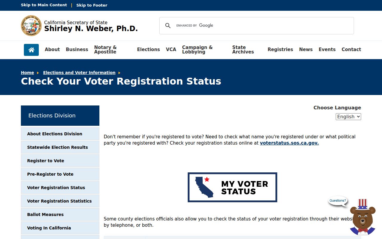
Registration guidance is a reminder that voter records require their own authentication and statutory access path, even when a postal code is known.
Responsible Menifee ZIP Research
ZIP geography is useful for genealogy, reunions, estate work, address correction, civic mapping, and separating similar names. It is not permission to build a private household list. A parcel map shows land units. A voter file is restricted. A mailing clue is not occupancy. A business address is not a home address.
Use the postal code to narrow, then verify with the custodian. A Menifee ZIP code directory should label each result as postal, municipal, or parcel evidence. If the result is missing, test Sun City, Romoland, Quail Valley, Perris Valley, and Riverside County labels before assuming the person or parcel is gone. If the goal shifts to a named street, use the by-street APN and deed chain rather than expanding the ZIP search.
Lawful use. Never use Menifee ZIP or address records to stalk, harass, intimidate, or harm anyone. Protected-address and voter rules still apply at ZIP scale.