
Walk a Menifee Street Directory by Address
A street-by-street search is a chain of linked records. Begin with the address as written, then test the jurisdiction before treating the name “Menifee” as a city-limit fact. The county GIS and the city maps show the parcel and boundary context. The assessor property tool supplies an APN. The public assessor office supplies the owner and roll mailing clue. The recorder index then searches the person as a party to an instrument.
Follow the chain in this order:
- Enter the house number and core street name in Riverside County Property Search.
- Record the APN, situs, legal description, and tax-rate area from the parcel result.
- Open Map My County and click adjacent parcels to build a map-based APN set.
- Use a Riverside County Assessor public terminal or microfiche to check the public owner and mailing record.
- Search the ACR recorder by owner or party name, then confirm each deed with APN and legal description.
Permits and older reverse directories come after the parcel and deed steps. The result is a defensible address trail, not an assumption that every name attached to a property lives there today.
Note: The APN connects a Menifee street address to the county map, assessor office, and recorder party search.
Address-Keyed Menifee Street Directory Records
Menifee’s street directory records are spread across custodians. Some are keyed to an address, some to an APN, and the recorder is keyed to a party name. The coverage table shows where each link belongs and what it leaves out.
| Record set | Keeper | Street value | Access |
|---|---|---|---|
| Parcel and assessment | Riverside ACR Assessor | Situs, APN, values, characteristics | Address online; owner at office |
| GIS parcel map | County and Menifee maps | Adjacent parcels, boundaries, zoning, districts | Free viewer and city maps |
| Recorded deeds and liens | Riverside ACR Recorder | Parties, dates, instruments, legal descriptions | 1974 web index; older office books |
| Permits and code files | Menifee or Riverside TLMA | Work, applicant, contractor, project dates | City portal or targeted request |
| Restricted voter file | California election officials | Registered address fields when authorized | Approved purpose only |
| Reverse directory | Library or archive inquiry | Historical subscriber or occupant by street | Exact Menifee run not verified |
Property and GIS records are the best current street anchors. Deeds add the ownership chain. Permits show activity at a building or parcel. A reverse directory can add a past subscriber, but its absence does not prove an empty address. The full historical shelf belongs with the Menifee city directories collection discussion. The state voter-file request instructions explain why a street-level voter extract is restricted to authorized purposes.
Note: A street record can identify land, a document party, or a historical subscriber without becoming a complete household list.
Riverside Property Fields for a Menifee Street
The Riverside assessor address search is narrower than a people directory, but its fields are precise. Enter a house number and street name, avoiding extra unit or directional text until the core address works. The assessment number is a nine-digit APN commonly entered without separators. Search by assessment number when a map or deed has already supplied it.
| Search control | Type | Required | What to enter |
|---|---|---|---|
| Search by | Mode | Yes | Assessment/APN or property address |
| Assessment Number | Text | Alternative | Nine digits, commonly without separators |
| House Number | Text | Address mode | Numeric street number |
| Street Name | Text | Address mode | Core name; omit direction first |
| Street designation | Select or text | If requested | Road, Street, Drive, or the displayed choice |
| View Property | Button | Action | Returns parcel facts, not an online owner name |
A parcel report can show assessment or tax-rate context, land and improvement values, property class, characteristics, transfer clues, legal description, and map references. The mailing address may differ from the situs. A homeowners’ exemption can be a clue about owner-occupancy but is not a roster and can lag the current situation.
The defining limit is intentional: Riverside does not display owner names online. Take the APN to a public-service office for the owner and roll mailing step, then move to the recorder. That keeps the Menifee street directory grounded in the county’s actual access design.
Note: Riverside’s online property card resolves parcel facts but deliberately stops before displaying the public owner name.
Map My County Around a Menifee Address
Map My County is the street directory’s map layer. Search by address, APN, cross streets, community, ZIP Code, legal description, book and page, township and range, coordinates, roadbook, supervisor, or LMS case number. Select the parcel, allow pop-ups, and open a Summary Report or Full Report. Layers can show parcels, jurisdiction, zoning, districts, and selected planning constraints.
To walk the block, zoom until parcel outlines are clear, identify the target, and click each neighboring polygon. Record the APN rather than copying a name from a map label. Repeat the assessor-office owner step only for the APNs that matter to the research question. Measurement, print, and report tools can document frontage or distance without turning the map into a personal-information radius search.
The Menifee maps library adds city boundary, Street Name Lookup, council districts, land use, zoning, projects, and facilities. Use the city layer to ask which agency handles a parcel. A postal Menifee address can sit outside the municipal line, and pre-incorporation records can remain with Riverside County.
The county zoning guidance describes the search modes and report behavior used in a Map My County lookup.
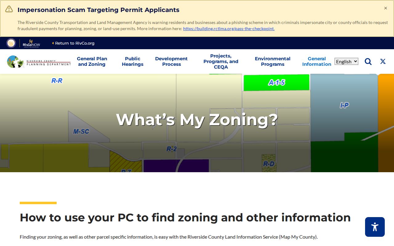
The viewer’s parcel and layer controls are most useful when an address needs to be tied to the correct jurisdiction and APN.
The Menifee map library provides the city-specific map choices used beside the county viewer.
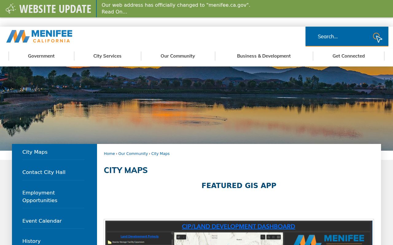
City boundary, street, zoning, and district layers help explain which public office owns the next records step.
Owner Names at the Riverside Assessor Office
Riverside’s online owner-name suppression changes the normal street lookup. The county property card can resolve a place, but public owner information is available at assessor offices through public computers or microfiche. The assessor roll reflects owners as of January 1. It may show a mailing address, but mailing is a tax-delivery category, not proof that the addressee is present at the parcel.
The ACR FAQ is worth checking before a visit because it distinguishes the assessor roll from the recorder’s index. The recorder searches grantors and grantees. It does not offer a full address index. A title company may hold an address-based product, but that is a separate source with its own access rules.
Key distinction. Situs means the physical parcel. Mailing means where tax correspondence goes. Neither field is a complete list of Menifee household members.
Once an owner name is obtained lawfully, search recent deeds or liens by name and date. Use the APN and legal description to avoid joining the wrong namesake. If the address is a vacant parcel or a recently subdivided lot, the street directory may show land history without a resident clue.
Deed Chains Along a Menifee Street
The recorder’s party index is useful after the parcel step. ACR records deeds, deeds of trust, reconveyances, liens, releases, notices, maps, and other instruments. The online recorder line starts January 1, 1974. Clerk documents reach January 1, 1893. Older title work can require county office indexes, deed books, and archival microfilm.
Search individuals as Last First MI without punctuation. Use a first initial or advanced matching when the name is common. Filter by recording date and document type. A typical result supplies a document number, recording date, type, grantor and grantee names, and an order or view path. A deed image may add the legal description, APN, return address, and signatures, though not every field is indexed.
- Search the public owner as a recent grantee.
- Open the deed and confirm APN, legal description, and acquisition date.
- Record the grantor and search that person as an earlier grantee.
- Repeat until the online line ends, then ask ACR about physical or microfilm books.
Online copies cost $8 for the first page, $1 for each added page of that document, and $2 for certification. Images can be viewed at an ACR office. Names alone do not make a chain. The durable link is the same lot, parcel, subdivision, or legal description.
Permits Before and After Menifee Incorporated
Building, planning, engineering, and code files are address-keyed, so they add a different layer to the Menifee street directory. Menifee Building & Safety handles city-era permit submission, consultations, and inspections. Planning handles zoning and land-use questions. Engineering handles encroachment and project material. A file can connect an address to an applicant, owner representation, contractor, project description, dates, inspections, and parcel number.
Menifee incorporated on June 3, 2008. A present city address does not move pre-2008 permits into the city system. Older or unincorporated files may route to Riverside County TLMA or RivCoPlus. The public ACA portal did not state a reliable earliest permit year, so a missing online result should lead to a targeted request rather than a claim that no permit exists.
The Menifee permit contacts page identifies the service routes for Building & Safety, Planning, and Engineering.
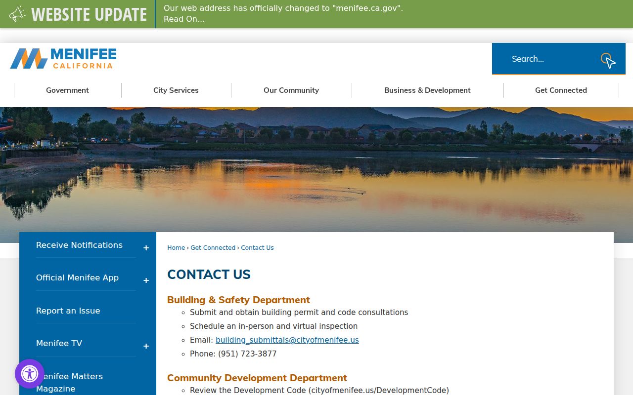
Permit records document work on a parcel. They do not list every person connected to a building, and protected details may be redacted.
Note: A post-2008 Menifee permit trail and an older unincorporated file may belong to different custodians.
Road Names as Menifee Resident History
Street names can preserve a family, ranch, mine, or early resident long after a directory entry disappears. Menifee credits the Menifee Valley Historical Association with its History of Menifee Roads page. Use that source as a surname hypothesis, then check deeds, census entries, school records, newspapers, or the museum’s family files. A road name is a clue, not proof that a person owned every parcel along it.
Growth has also changed the map. Menifee combines agricultural and mining history, Sun City, Quail Valley, Romoland-associated areas, and newer planned communities. A street label may appear under a different locality in an older telephone book or reverse directory. Compare subdivision maps, legal descriptions, city maps, and county GIS before deciding that an address moved.
The History of Menifee Roads source gives the local road-name context.
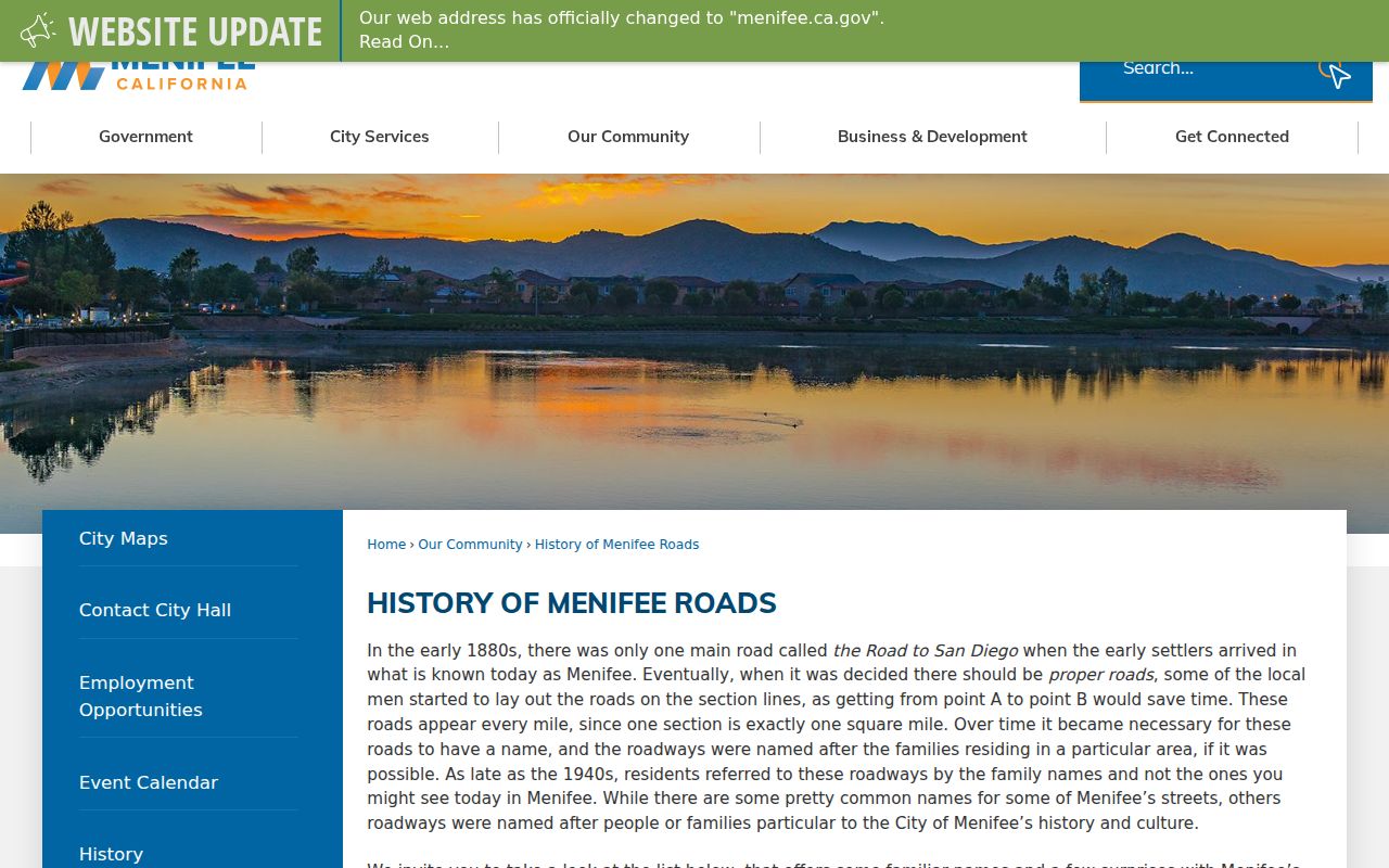
Road history is most valuable when paired with a legal description and a dated record, not used as a stand-alone resident search.
Older Menifee Street Directory Headings
Reverse or criss-cross directories can translate a house number into a subscriber or occupant for a publication year. No official source verified a complete Menifee-specific run. Ask Menifee Library, Sun City Library, the California State Library, and the History Museum for Sun City, Perris Valley, Romoland, Quail Valley, or Menifee Valley headings. Read the abbreviation page before interpreting a symbol.
A criss-cross entry is historical evidence, not a current resident list. A telephone subscriber might be one person in a household, a business, or a line held under an older name. Pair the street entry with census, obituary, deed, or probate evidence. If a name disappears, test a locality relabeling, a move, a death, or an unlisted year.
The historical collection details and family-tracing method live in the Menifee city directory collections page. The street directory’s role is to point from a modern address to the right historical heading without inventing a year run.
Street, Mailing, and Legal Address Checks
Three address forms can describe one parcel. The situs is the physical location. The mailing address receives tax or other correspondence. The legal description defines the lot through a subdivision, lot and block, or metes-and-bounds wording. USPS supplies the delivery label. When a street or ZIP identity feels wrong, compare all four instead of forcing one field to stand in for the others.
- Parcel
- A county-assigned land unit identified by an APN.
- Situs address
- The physical location used by the assessor for the property.
- Plat
- A recorded map that can show subdivision lots, blocks, and streets.
- Criss-cross directory
- A historical reverse section arranged by street and number rather than surname.
Riverside APNs are nine-digit assessment numbers. They are not street addresses. The APN is the bridge between the assessor, GIS, and recorder map references. A legal description is often the better continuity key when a road label changes, a new subdivision is created, or a parcel is split.
Menifee’s city maps, county GIS, assessor parcel result, and USPS address validation answer different parts of the same question. Use them together, then stop when the record does not support a household conclusion.
A Menifee Street Directory Has Privacy Limits
A parcel map displays land units, not every neighbor or household member. Renters, guests, unlisted people, and protected participants may not appear in property or historical records. DMV data is closed under the federal Driver’s Privacy Protection Act. Utilities do not offer a general customer directory. School records are protected, and voter information is restricted to approved purposes under California Elections Code §2194.
Use the street directory for lawful personal research, genealogy, boundary history, community history, and a narrow records question. Do not infer a person from a delivery, vehicle, utility clue, or map polygon. Confirm important facts with the custodian and respect a person’s request not to be contacted.
Lawful use. Menifee address records are not permission to stalk, harass, intimidate, or harm anyone. A missing name can reflect a privacy rule, not a challenge to work around.
When the goal changes from a whole street to one person, move to the Menifee resident lookup workflow and require at least two independent matching attributes.
Note: A parcel map can show land boundaries without proving occupancy, household membership, or a current neighbor relationship.