
Looking Up Your Menifee Neighbors
A block lookup answers a geography question first: which parcels touch or sit near the target address, which agency covers them, and which public records can be checked lawfully. Map My County provides the parcel layer. The assessor office supplies public ownership information for a selected APN. The recorder connects an identified party to recorded documents. Menifee maps add city boundaries, zoning, projects, districts, and street names.
| Source | What It Shows About a Block | Access |
|---|---|---|
| Map My County | Adjacent parcel shapes, APNs, jurisdiction, planning layers | Free map, identify, and reports |
| Assessor office roll | Assessed owner and roll mailing for a chosen APN | Public computers or microfiche at office |
| Recorder index | Deeds and liens for identified parties | Web index from 1974; copies or office view |
| Menifee city maps | Zoning, council districts, streets, projects, boundaries | Free city map library |
| Permit and code files | Work, applicants, contractors, issue and final dates | Portal or focused request |
| Voter file | Nearby registration fields only under an approved purpose | Restricted application |
| Community organizations | Public officers, events, and contact points | Organization or city pages; rosters private |
This coverage table keeps the Menifee neighbor lookup tied to the block. A careful Menifee neighbors search stays with the parcel and its custodian. It does not convert parcel shapes into a list of household members or treat a public officer list as a community roster.
Note: A Menifee block lookup begins with adjacent APNs and only later asks which public owner fields are available.
Click Parcels Around One Menifee Address
Start with the complete address or APN in Riverside Map My County. Search by address, APN, cross streets, community, ZIP Code, legal description, assessor book and page, township and range, coordinates, supervisor, roadbook, or LMS case number. Select the result, allow pop-ups, and open the Summary or Full Report.
Use this process to build a parcel set:
- Locate the target parcel and record its APN, jurisdiction, and legal description.
- Enable parcel boundaries and zoom until adjacent polygons are clear.
- Identify each neighboring polygon and record only the APN needed for the question.
- Repeat the assessor-office ownership route for selected APNs.
- Use the recorder, permit, or community source that matches the research purpose.
Measurement tools can define frontage or distance. Identify and report tools can document the map without creating a personal-information radius search. A screenshot should show the target and surrounding parcels, not a private profile.
The Menifee maps library adds city-specific street, boundary, zoning, district, and project layers.
City mapping helps identify which public agency covers a parcel before an owner or permit request is made.
Note: Map My County shows parcel geometry, but an adjacent polygon is not a named household list.
Build APNs Without a Menifee People List
An APN list is a geography tool. It records land units around an address and can support a boundary, genealogy, or project question. It is not a list of Menifee neighbors. The assessor’s online result gives parcel facts but suppresses owner names. Owner and roll mailing information is available through assessor public-service offices for a chosen address or APN.
The safest flow is address to parcel, parcel to APN, APN to office record, and only then a narrow deed or permit search. Keep each APN separate. A subdivision can create new parcels, a vacant lot can have no household clue, and a mailing address can sit elsewhere. The map shows land; the record custodian decides what person-linked information is public.
Process flow. Target address → parcel boundary → APN → assessor office → recorded party or permit file. Stop when the chosen record does not support the next step.
The Riverside ACR FAQ explains the online owner-name limit and why the assessor and recorder searches must be kept distinct.
Assessor Office Owner Checks for Menifee Blocks
Riverside County makes the public owner step an office process. Bring the address or APN to a public-service office, use public computers or microfiche, and record the owner and roll mailing information as of the applicable assessment date. The assessor roll can show land and improvement values, property characteristics, transfer information, tax-rate area, and mailing versus situs distinctions.
Owner information does not equal current occupancy. A parcel can be vacant. The mailing address may be different. Household members may not be listed. When a person’s name is important, search the recorder index as a second source and confirm the same APN or legal description.
The assessor contact route lists 951-955-6200 and 800-746-1544, with phone hours Monday through Friday, 8 to 5. The Clerk-Recorder route is 951-486-7000 or 800-696-9144. Confirm current details with Riverside ACR before visiting.
Map Zoning, Districts, and Menifee Projects
A neighbor lookup is not only about names. Menifee maps can show zoning, council districts, land use, specific plans, capital projects, facilities, and street boundaries. County Map My County can add parcel, jurisdiction, planning, and district layers. These sources explain why adjacent parcels may have different agency contacts or development histories.
Use the layers to frame a public question: which project touches a block, which council district receives a notice, or which jurisdiction handles a permit. Do not use a zoning layer to infer a person. A parcel’s land use is not a household fact.
For an address mismatch, compare the city Street Name Lookup, boundary map, county GIS, assessor APN, recorded subdivision map, and postal label. The city line, service area, and delivery identity may not align.
Permit Files Near a Menifee Block
Building & Safety, Planning, and Engineering files can show work at a target or adjacent parcel. A permit may list the applicant, contractor, project description, issue or final date, inspection, and parcel number. Menifee handles city-era work after incorporation. Riverside County TLMA may hold older or unincorporated files.
Search the city service center by address or parcel, then request a specific existing file when the online result is incomplete. The public-facing ACA portal did not state a reliable earliest digital year. A missing online item is not proof that a building has no permit history.
The Menifee City Clerk public-record request route explains online and in-person requests for existing city records.
That city route is the local starting point for a focused permit or project request when the portal is incomplete.
The Menifee permit contacts page gives current Building & Safety, Planning, and Engineering routes.
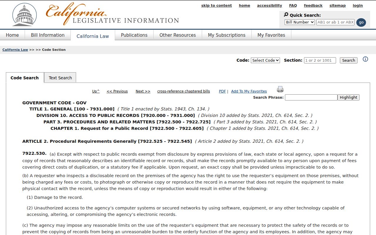
A narrow California Public Records Act request can ask for an existing permit or project record by address, APN, and date range.
Menifee Voter Records Not a Neighbor Directory
California My Voter Status authenticates the individual voter. It is not searchable by another person’s name, street, or ZIP. A statewide voter-file extract can include residence, precinct, registration, and participation fields only for an authorized purpose and requester under Elections Code §§2188 and 2194. Driver-license or ID numbers, Social Security digits, unique identifiers, and signatures are excluded.
A permitted voter-file recipient cannot republish a Menifee block directory. Safe at Home participants use substitute-address protections, and inactive status does not establish a move date. For ordinary neighbor research, use parcel geography and public records instead of trying to turn a restricted roll into a household list.
The California public-records cost rule is separate from voter-file access. A CPRA request can seek an existing city record, but it cannot bypass voter restrictions or require an agency to create a new resident list.
Sun City, Quail Valley, and Community Layers
Menifee neighbors may describe the same area through Sun City, Quail Valley, Romoland, Menifee Lakes, Audie Murphy Ranch, Heritage Lake, or another planned-community identity. Those labels can help locate public meeting notices, city district pages, project records, or an organization’s public contact point. They do not prove membership or residence.
| Sun City | Historical community and library identity; search older community material under the name. |
|---|---|
| Quail Valley | Western Menifee and Canyon Lake edge locality; compare postal and city maps. |
| Romoland area | North and northeast locality label; test it in older records and ZIP searches. |
| Menifee Lakes, Heritage Lake, Audie Murphy Ranch | Planned-community layers that may appear in project, map, or organization records. |
The city did not publish a comprehensive association or member directory in the inspected sources. Use an organization’s own public contact page or city meeting notice, and do not collect private rosters, gate logs, or membership status.
HOA Entities versus Menifee Private Rosters
HOAs are private corporations. California Bizfile may identify the entity, agent for service, status, and public filings. That is different from a member roster. A public officer or business address can answer a contact question, while private directories, gate logs, and household lists generally remain with the association.
The Menifee Valley Chamber’s public member directory can locate businesses and named public contacts, not all neighbors. Congregations, clubs, veterans groups, block-watch programs, and community associations may publish events or officers, but access to newsletters and rosters depends on consent and repository rules.
Use public association information to find the right organization for a community issue. Do not infer that a parcel owner, a business agent, and a community member are the same person. A focused public-record request can seek an existing city notice, agenda, or contract, not a private membership database.
The California Bizfile search shows the public entity route for an HOA or community corporation. Entity information can identify a public contact path without exposing a private neighborhood roster.
Note: Bizfile can identify an HOA entity and agent, but it does not provide a private member roster.
Official Rolls and Compiled Neighbor Tools
Official records and compiled neighbor tools answer different questions. An official parcel or deed result has a named custodian, a record date, and a defined field set. A compiled product may merge public and commercial data, retain stale addresses, or join namesakes without showing its sources. Treat compiled output as an unverified lead, never as the block’s authority.
| Source type | Strength | Limit |
|---|---|---|
| County GIS | Clear parcel geography and jurisdiction | Does not list every person |
| Assessor office | Public assessed owner and roll mailing for an APN | Office access; not occupancy |
| Recorder index | Dated party and legal-instrument trail | Party-based, not address-wide |
| Community source | Public officers, events, and contact points | Private membership data stays limited |
| Compiled neighbor tool | May suggest a name or old address | Source, freshness, and match quality vary |
For a block question, start with land and jurisdiction. Neighbors are a place-based question before they are a name-based question. For one person, move to the resident lookup workflow and require two independent matching facts. The purpose should determine the record, not the other way around.
Protected Menifee Neighbors and Missing Data
Safe at Home can give qualifying survivors and certain threatened public employees a substitute mailing address. Government Code §§6205-6211 and §6208.1 restrict public display of a participant’s home address and telephone after the required demand. Sealed, juvenile, adoption, and confidential records create other lawful gaps. Missing data is not a reason to search harder for a protected address.
California privacy rights against covered businesses include know, delete, correct, and opt-out rights under the CCPA and CPRA. A deletion request does not erase a deed held by the county. The DROP platform can send one request to registered data brokers; the research notes California registration began in January 2026 and broker deletion duties begin August 1, 2026.
The Safe at Home program describes the substitute-address protection.
Privacy protections can make a block map look incomplete while doing exactly what the law requires.
The California privacy guidance explains why business data rights do not remove a government deed.
Use the right privacy channel for the source that holds the information.
The California DROP platform is the state route for registered data-broker deletion requests.
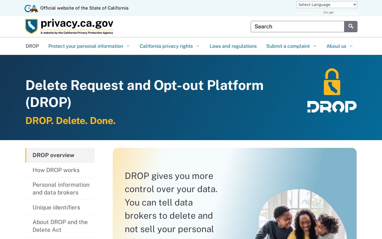
Opt-out tools address covered business data, while public records follow the custodian’s legal process.
Note: Missing neighbor data can reflect Safe at Home, sealed records, or business opt-out rules rather than a search failure.
Privacy Limits on a Menifee Neighbor Lookup
A neighbor lookup is for lawful personal use, genealogy, boundary history, community organizing, and a focused public-record task. It is not permission to publish a block roster, infer household membership, or contact someone repeatedly. California stalking law, criminal-threat law, civil-harassment rules, voter restrictions, Safe at Home, and the federal Driver’s Privacy Protection Act set real boundaries.
Use parcel, deed, map, permit, and community sources for the narrow question they can answer. If a person’s identity matters, confirm it with the custodian and a second independent record. If the source does not publish a field, accept the limit. A responsible Menifee neighbor directory is a map of public evidence, not a profile of private life. Neighbors remain people, not map labels.
Lawful use. Never use Menifee neighbor records to stalk, harass, intimidate, threaten, or harm anyone. Protected-address rules remain in force even when a parcel is easy to see on a map.
For the full named-street chain, use the Menifee by-street directory. For one person, use the resident lookup and keep the block question separate from the identity question.